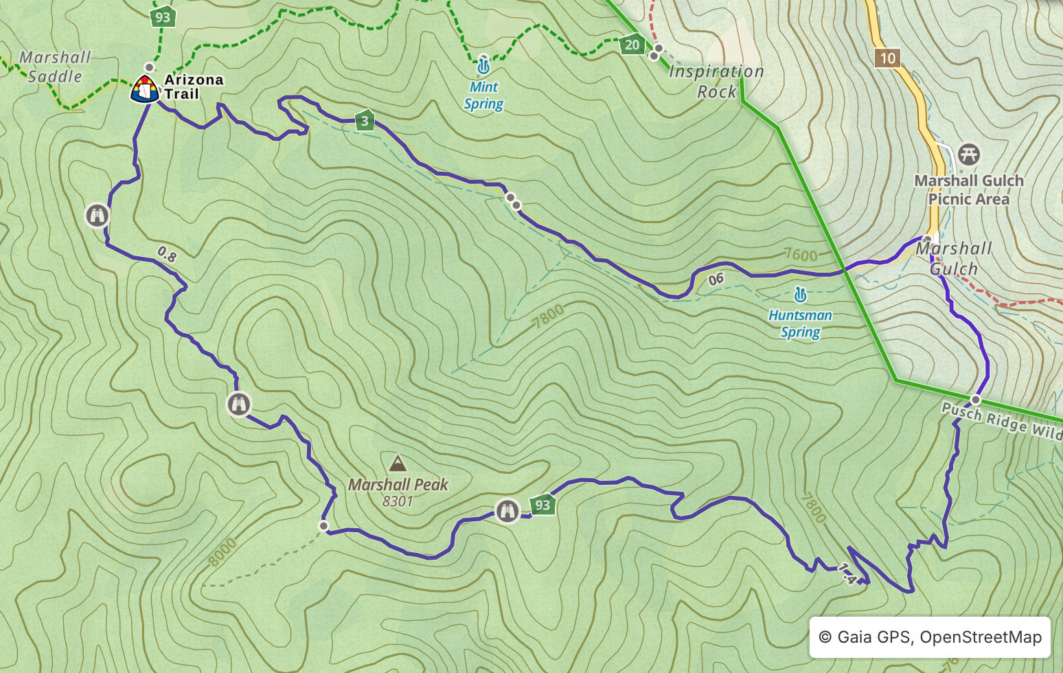
Aspen Marshall Loop
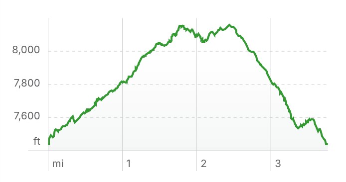
Length: 3.8 miles
Elevation Gain: 1,046 ft
Driving Directions to Trailhead
Note: The Marshall Aspen Loop hike departs from the Marshall Gulch Trailhead, which is closed annually from December 15 to March 1, with the closure sometimes being extended into April if winter conditions persist.
From Palisades Visitor Center continue up Catalina Highway for 4.5 miles to the town of Summerhaven. Then continue south through Summerhaven for another 1.5 miles to where the road ends at Marshall Gulch Trailhead.
Hike Overview
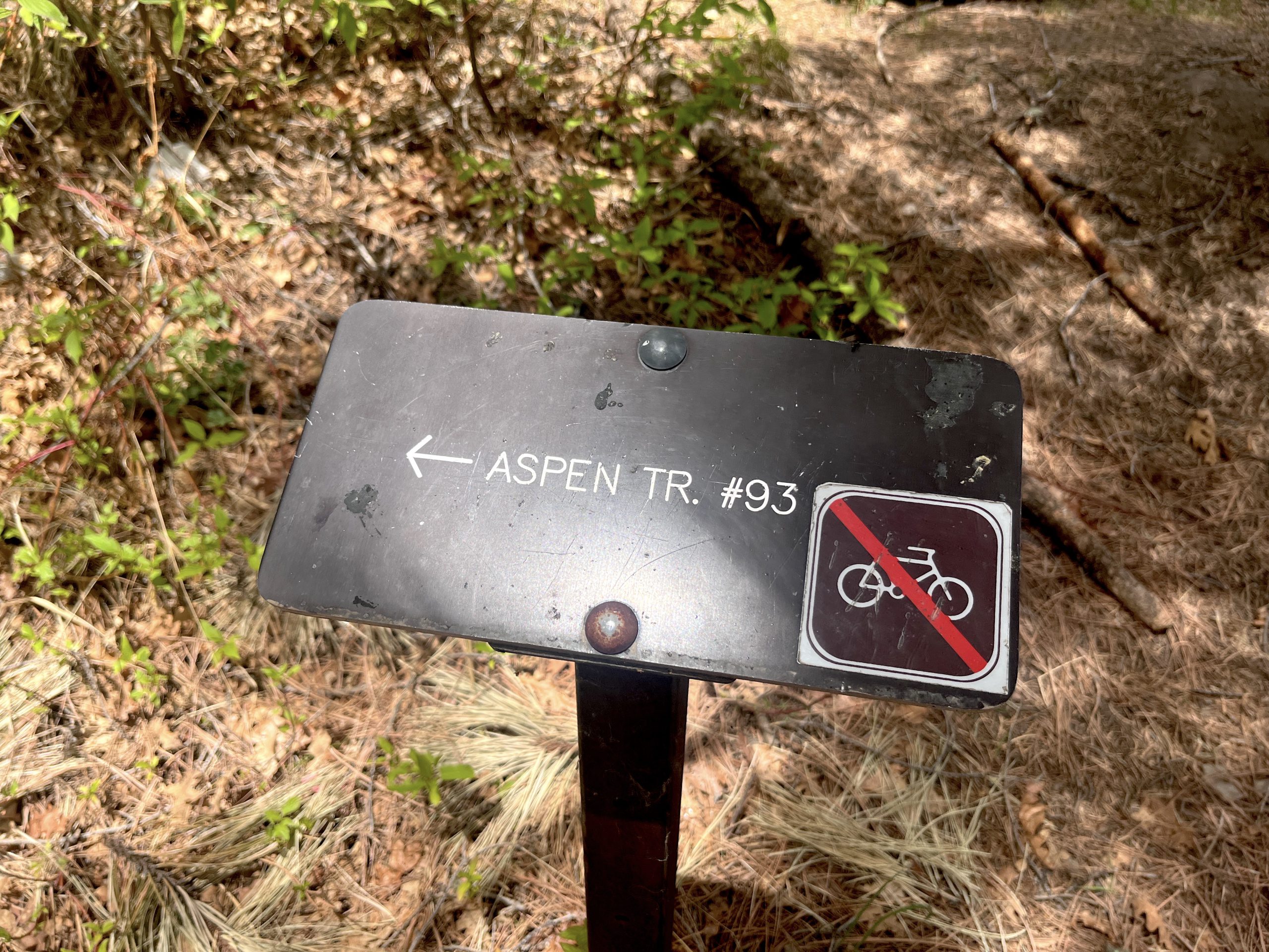
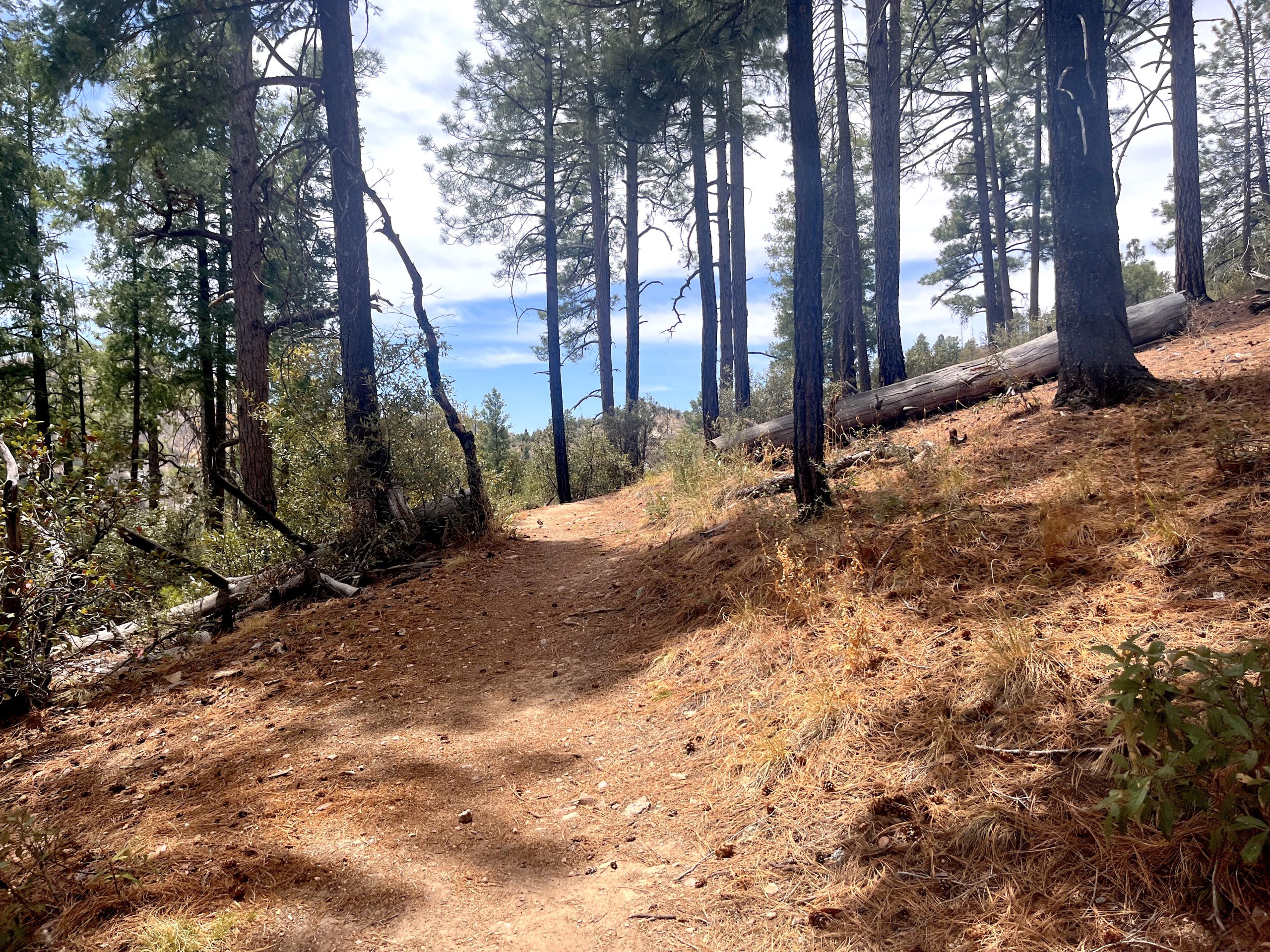
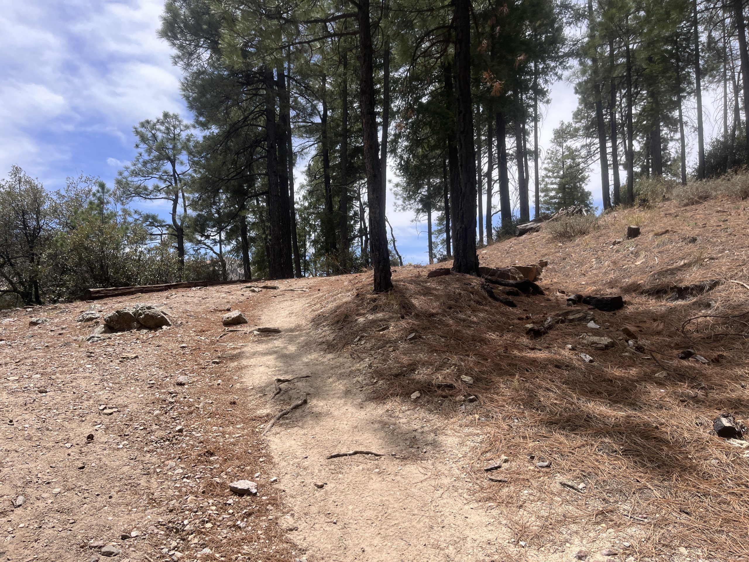
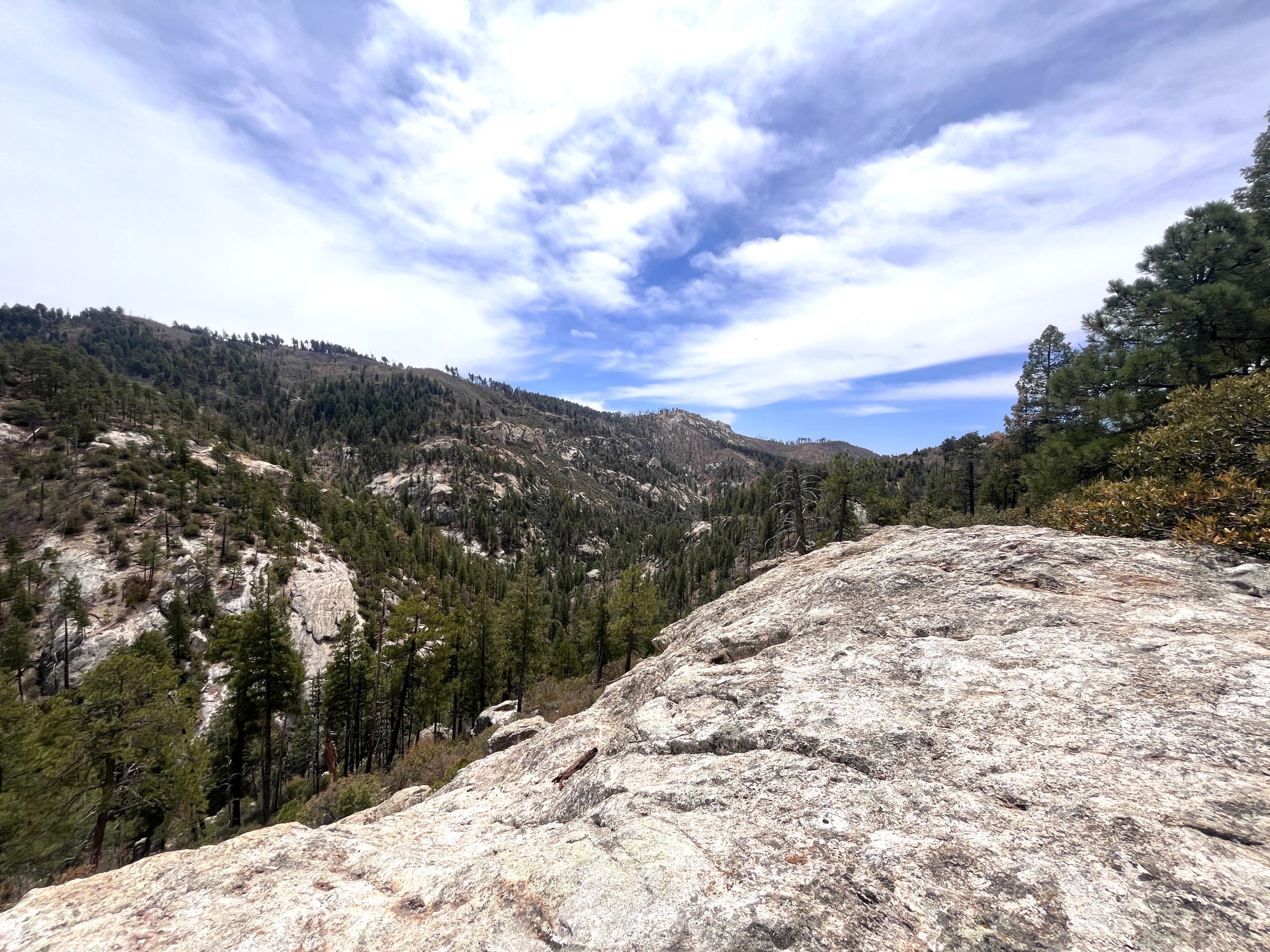
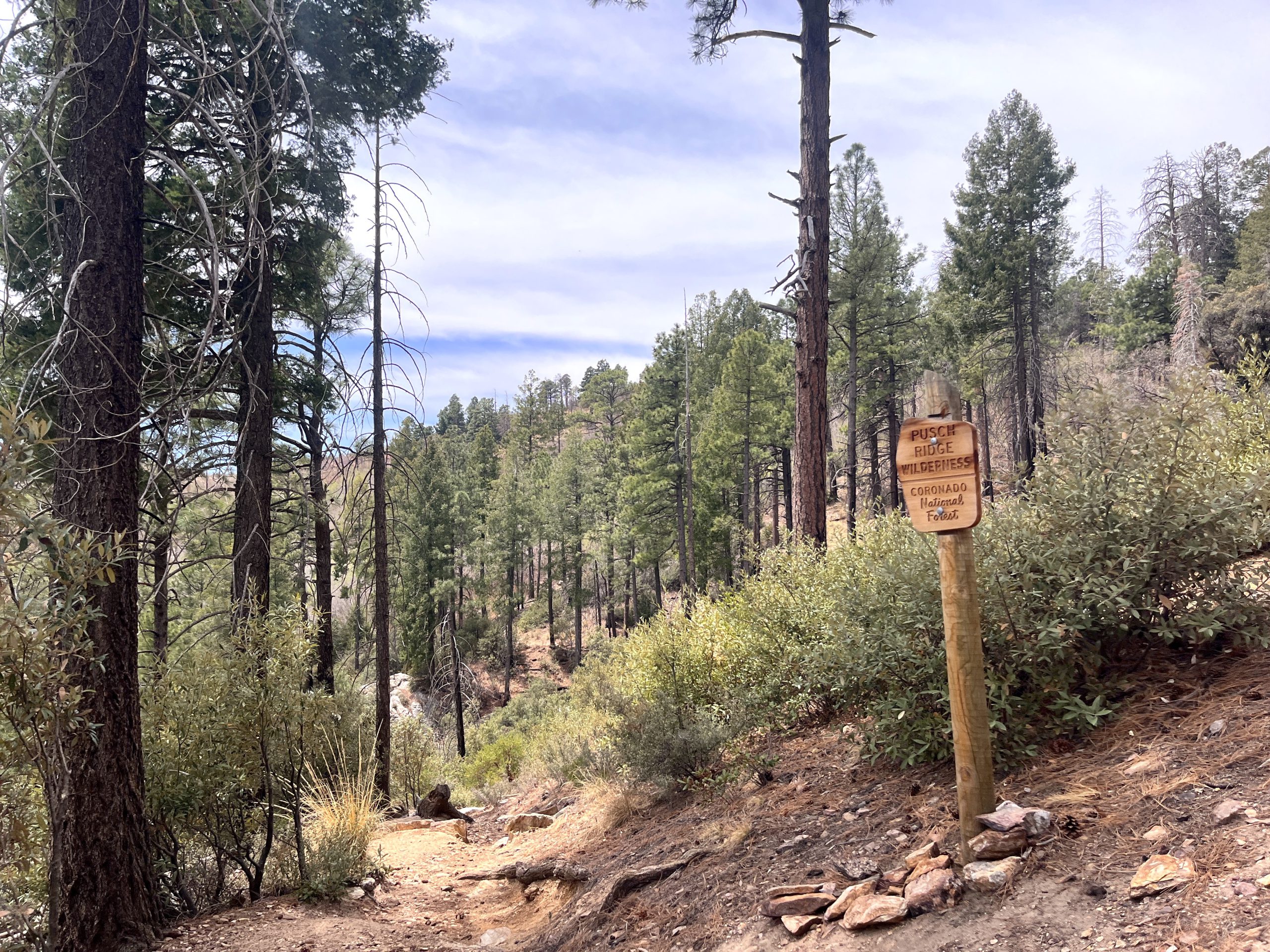
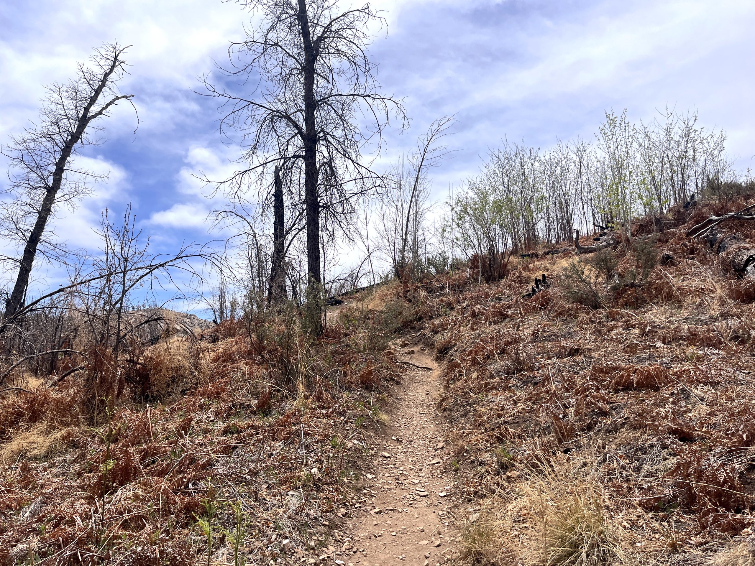
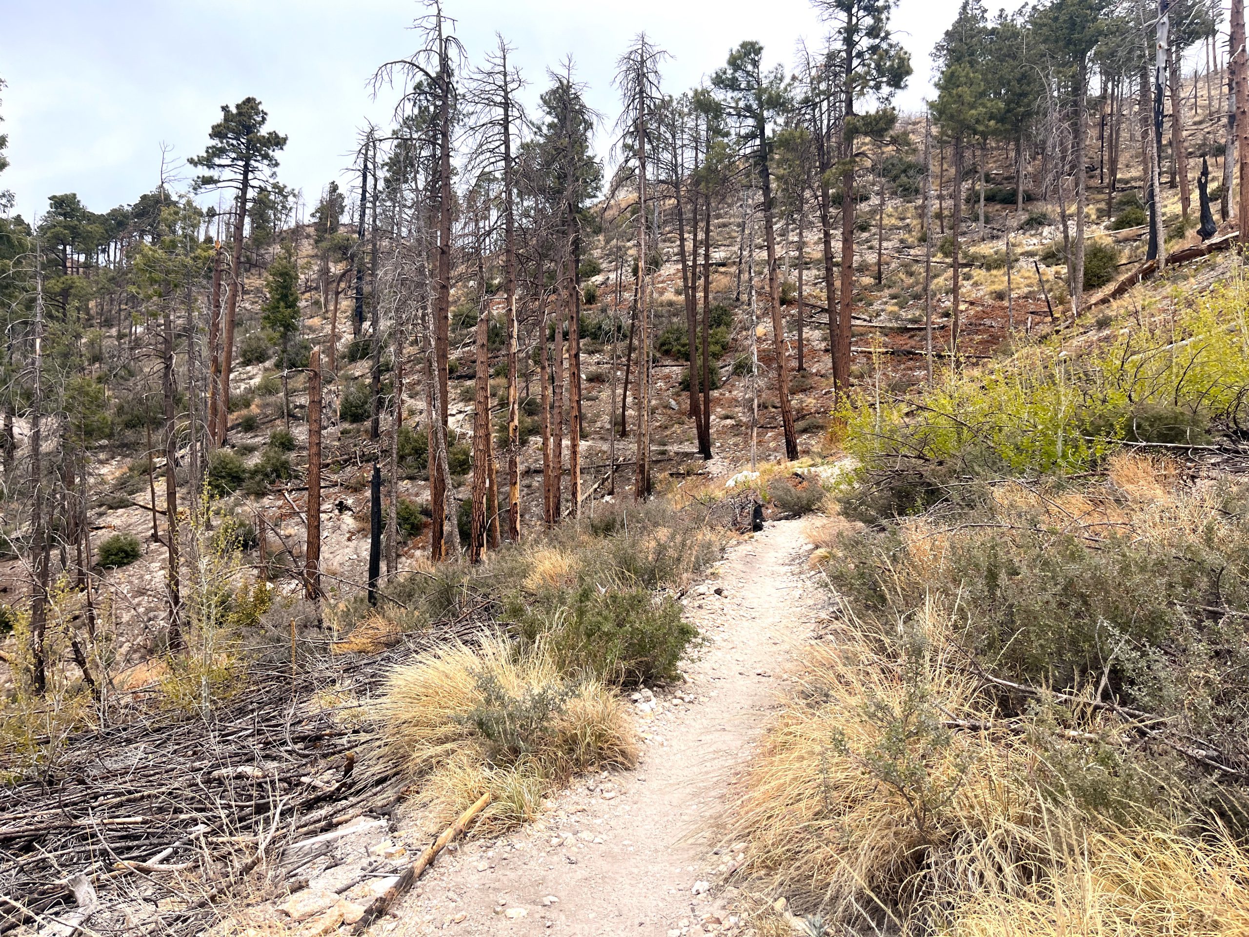
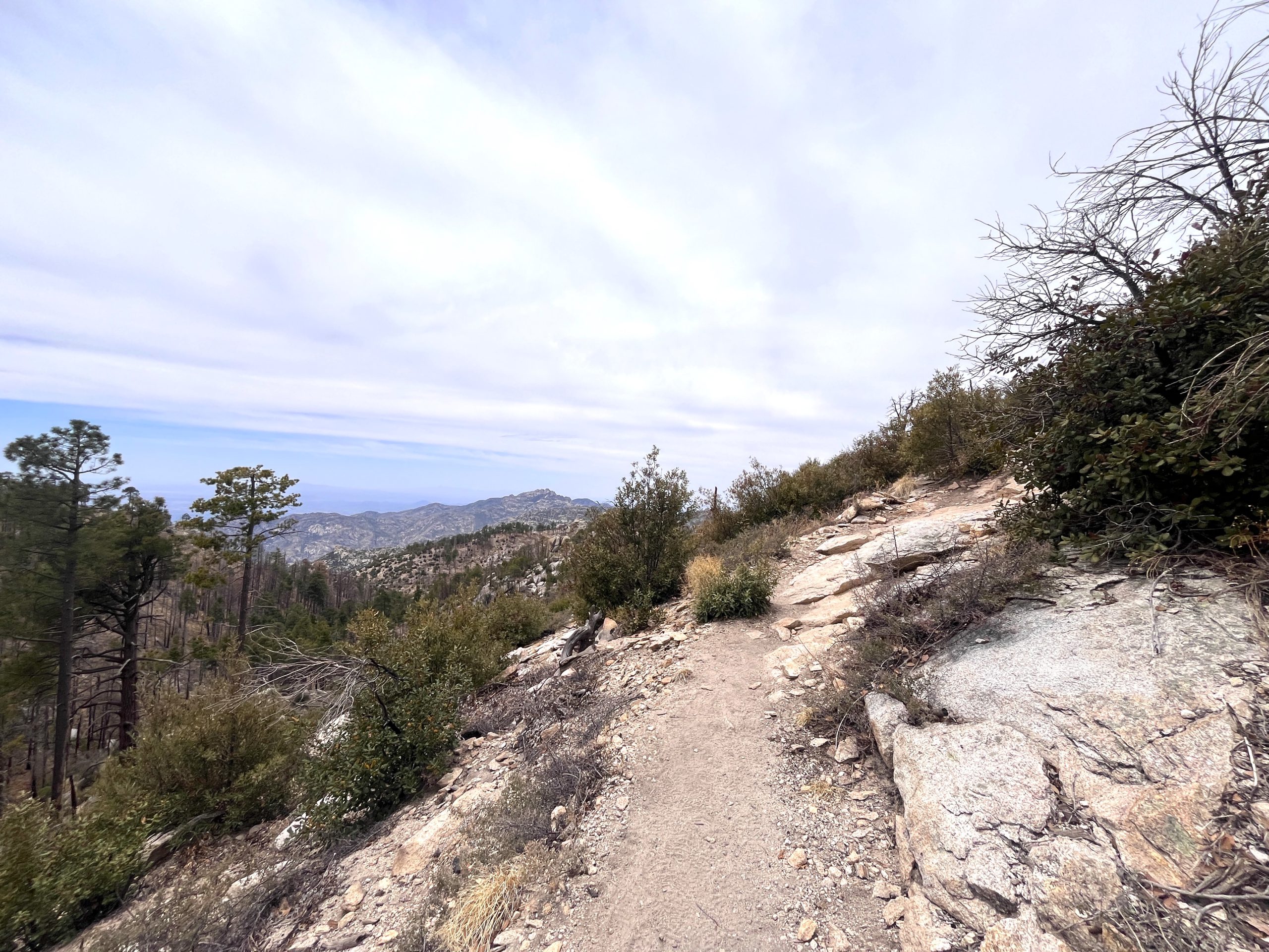
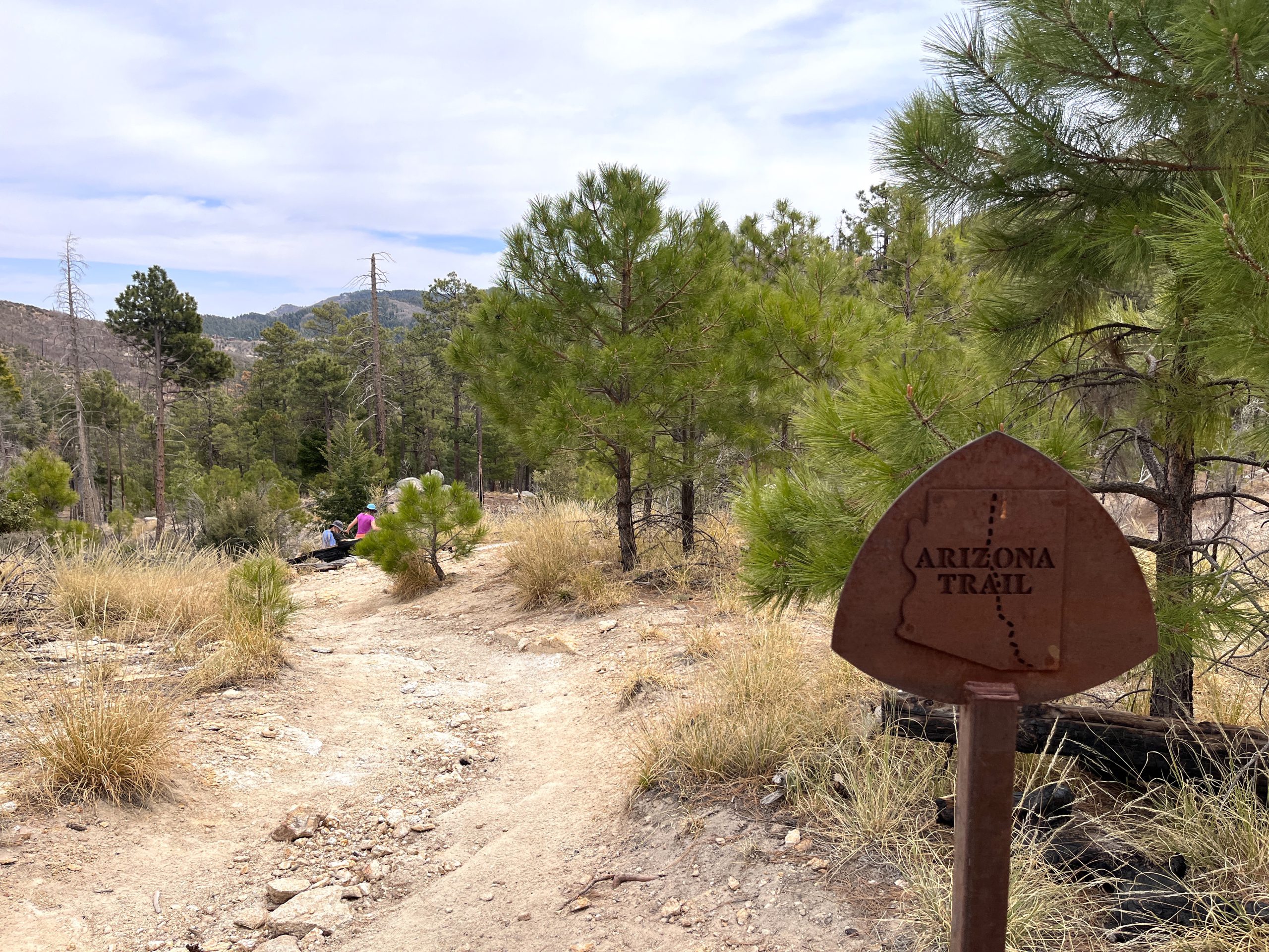
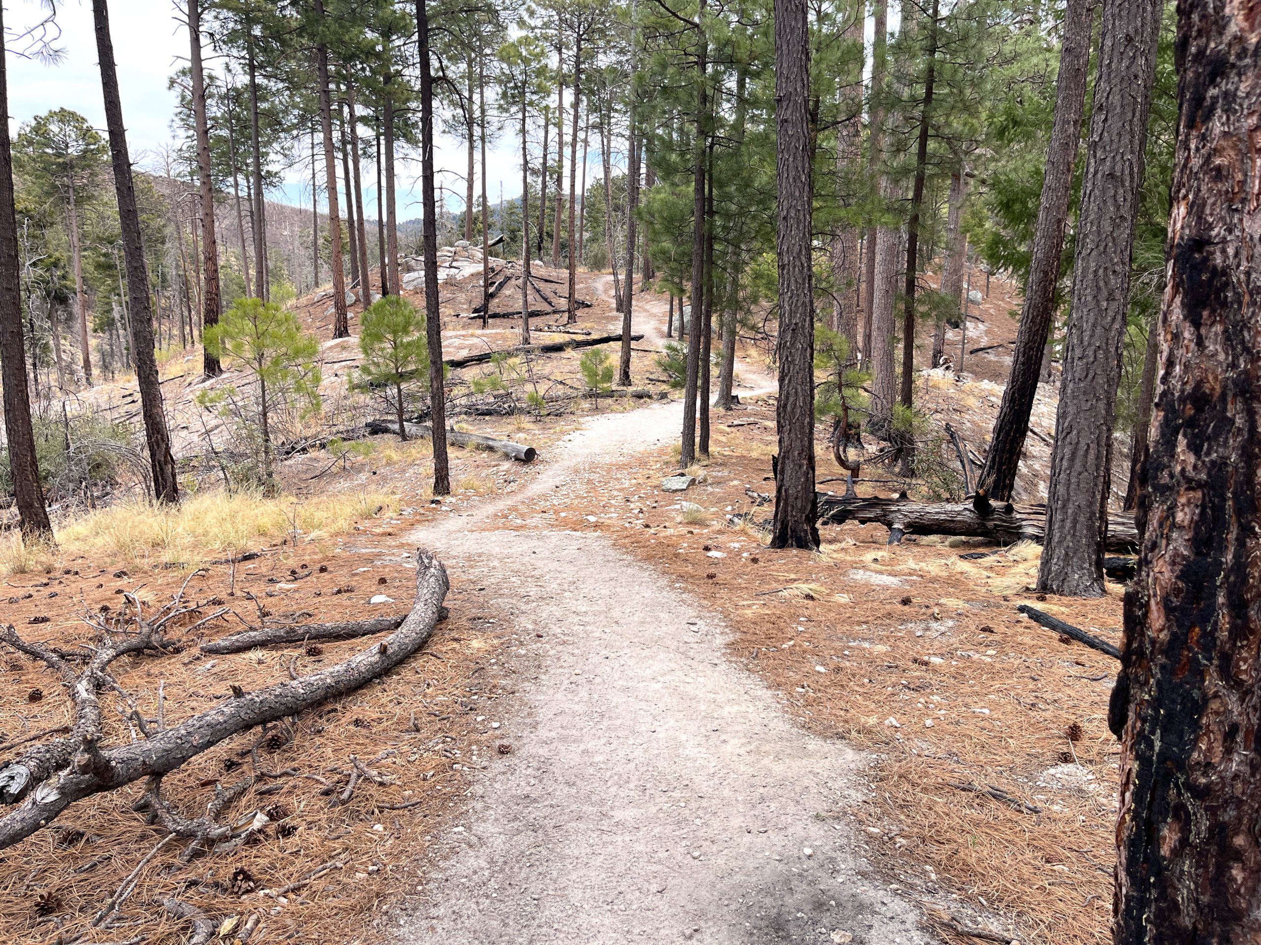
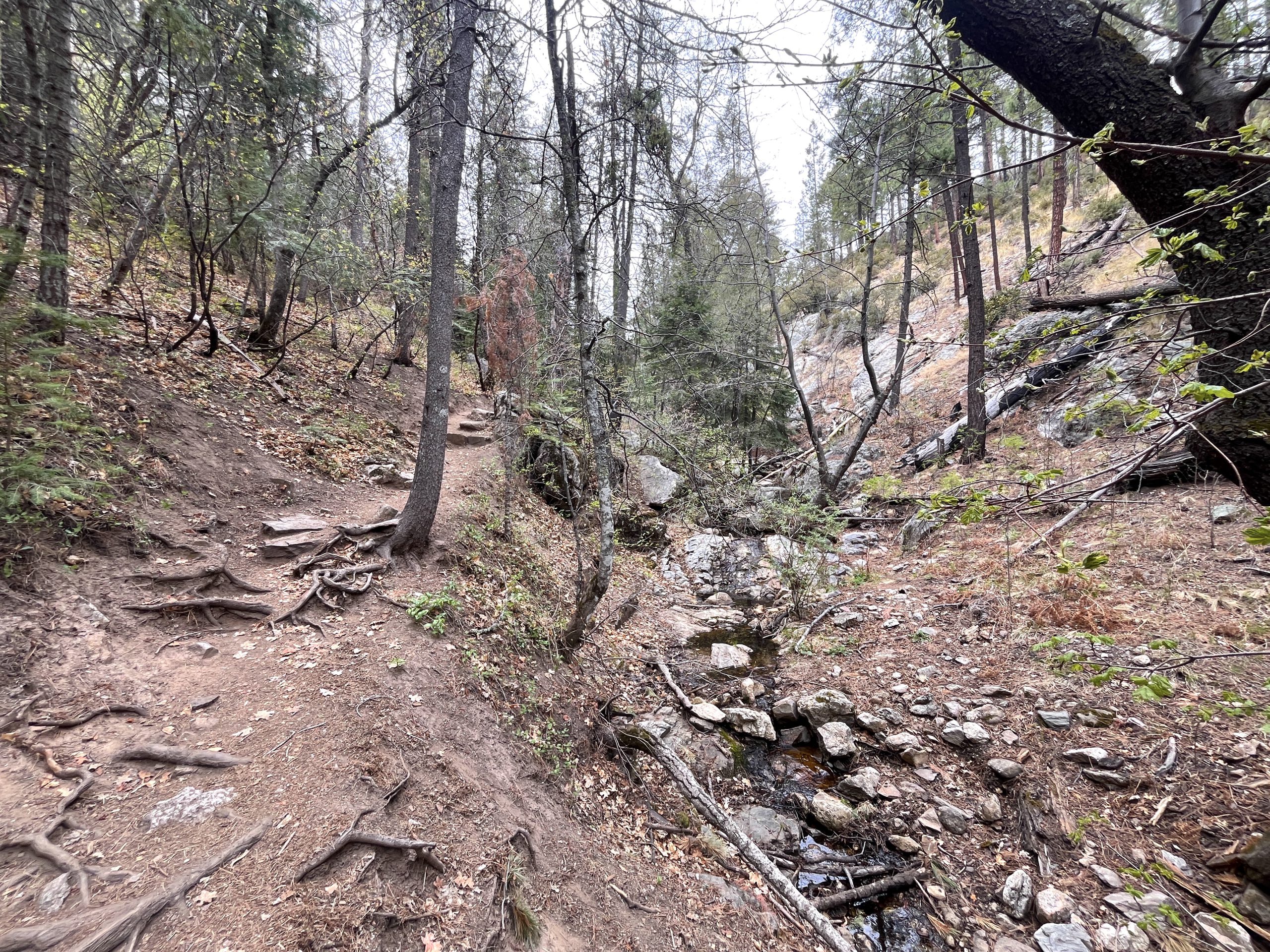
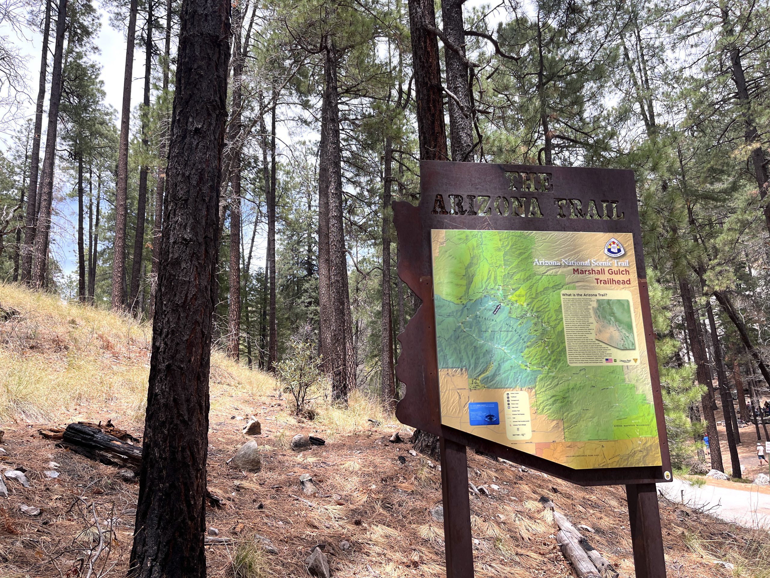
From the Marshall Gulch Trailhead, the Marshall Gulch Trail begins to the north of the restroom. Follow the trail west as it parallels a seasonal creek. Along this stretch you’ll see several signs for the Arizona National Scenic Trail, which shares the same route through this area. The trail gradually climbs for 1.3 miles to Marshall Saddle. Marshall Saddle is a five-prong trail junction. Take the leftmost trail, which is the Aspen Trail, south. Please note: This area features numerous rock formations and is a great spot for a snack break. Aspen trail continues to climb for another .5 miles before leveling out. Through this section you can catch expansive views between the trees to the south and west and you’ll notice the effects of the expansive Bighorn Fire in 2020 and Aspen Fire in 2003. The trail generally contours for the next half mile before beginning a steeper decent, switchbacking down to the Marshall Gulch Trailhead.
Safety
Be sure to visit the Know Before You Go page for additional safety information.