Palisades Overlook
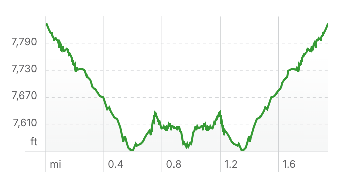
Length: 2.0 miles
Elevation Gain: 564 ft
Driving Directions to Trailhead
Note: Palisades Trailhead is located on Organization Ridge Road which is closed annually from December 15 to March 1.
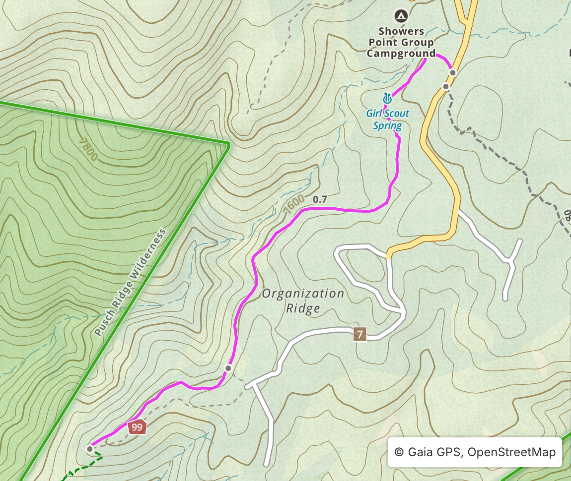
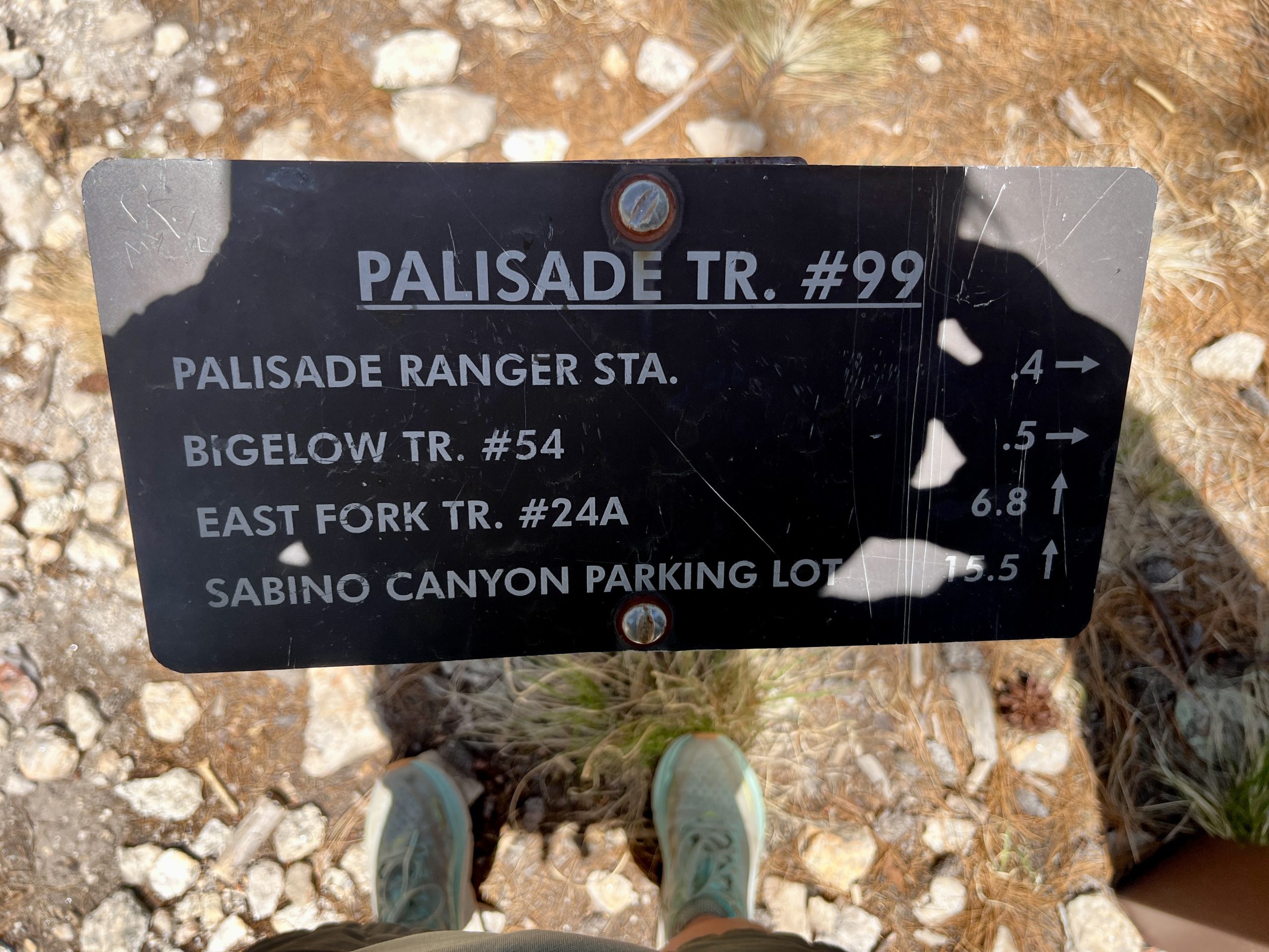
From the front parking lot of Palisades Visitor Center, travel roughly 400 feet back down Catalina Highway and make a right turn onto Organization Ridge Road. Stay right on Organization Ridge Road at the sign for Camp Lawton. The road will quickly turn into a dirt road which is typically passenger vehicle-friendly. The Palisades Trailhead is 0.25 miles down the road just passed the turnoff for Shower’s Point Campground.
Hike Overview
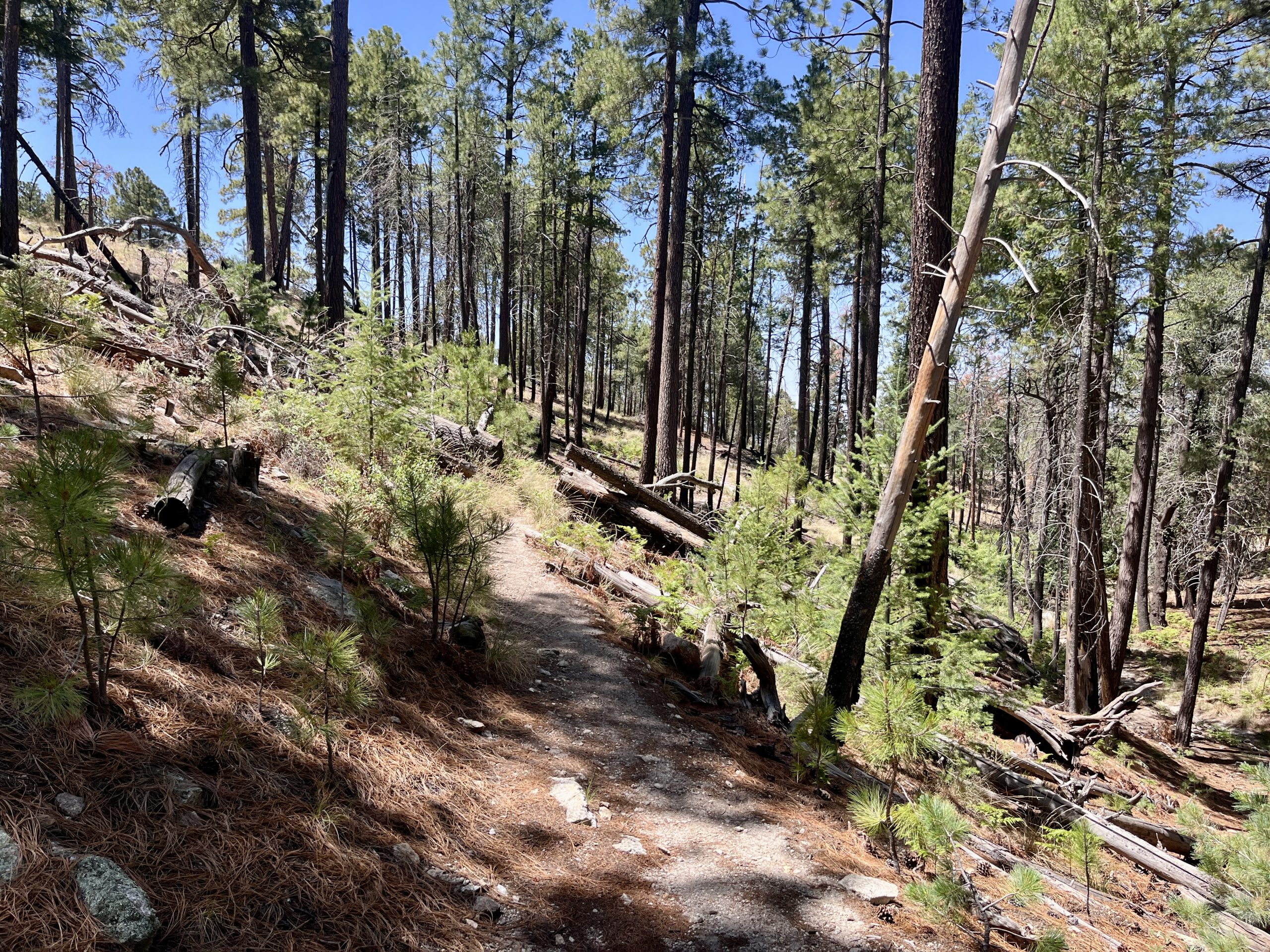
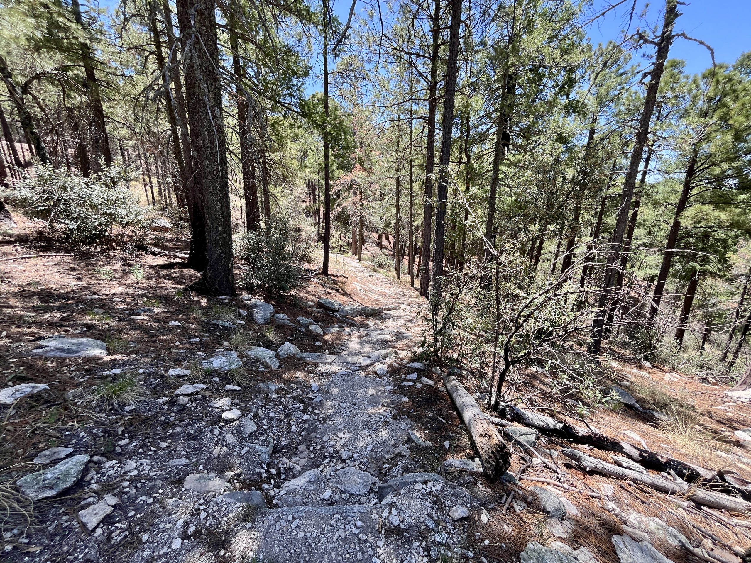
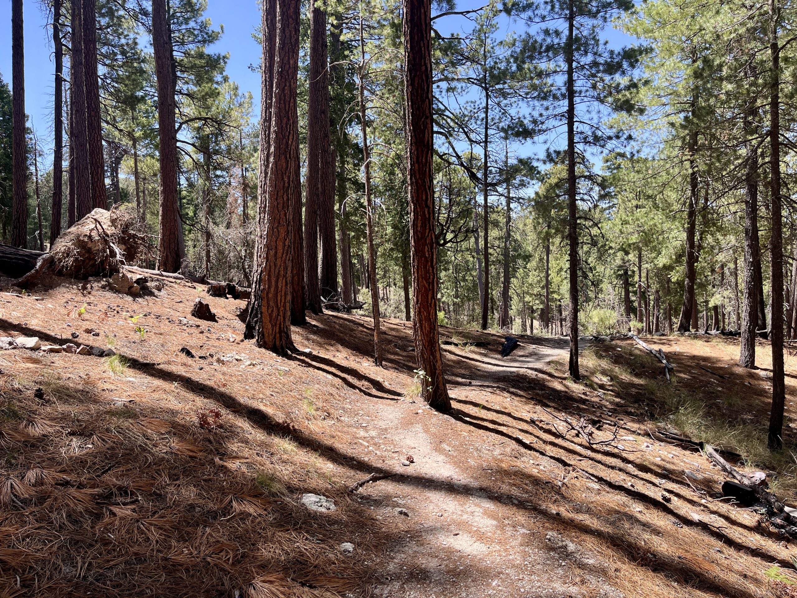
This simple out and back hike descends and contours through forested hillsides giving a sample of the higher elevation trees and vegetation the Santa Catalina Mountains have to offer.
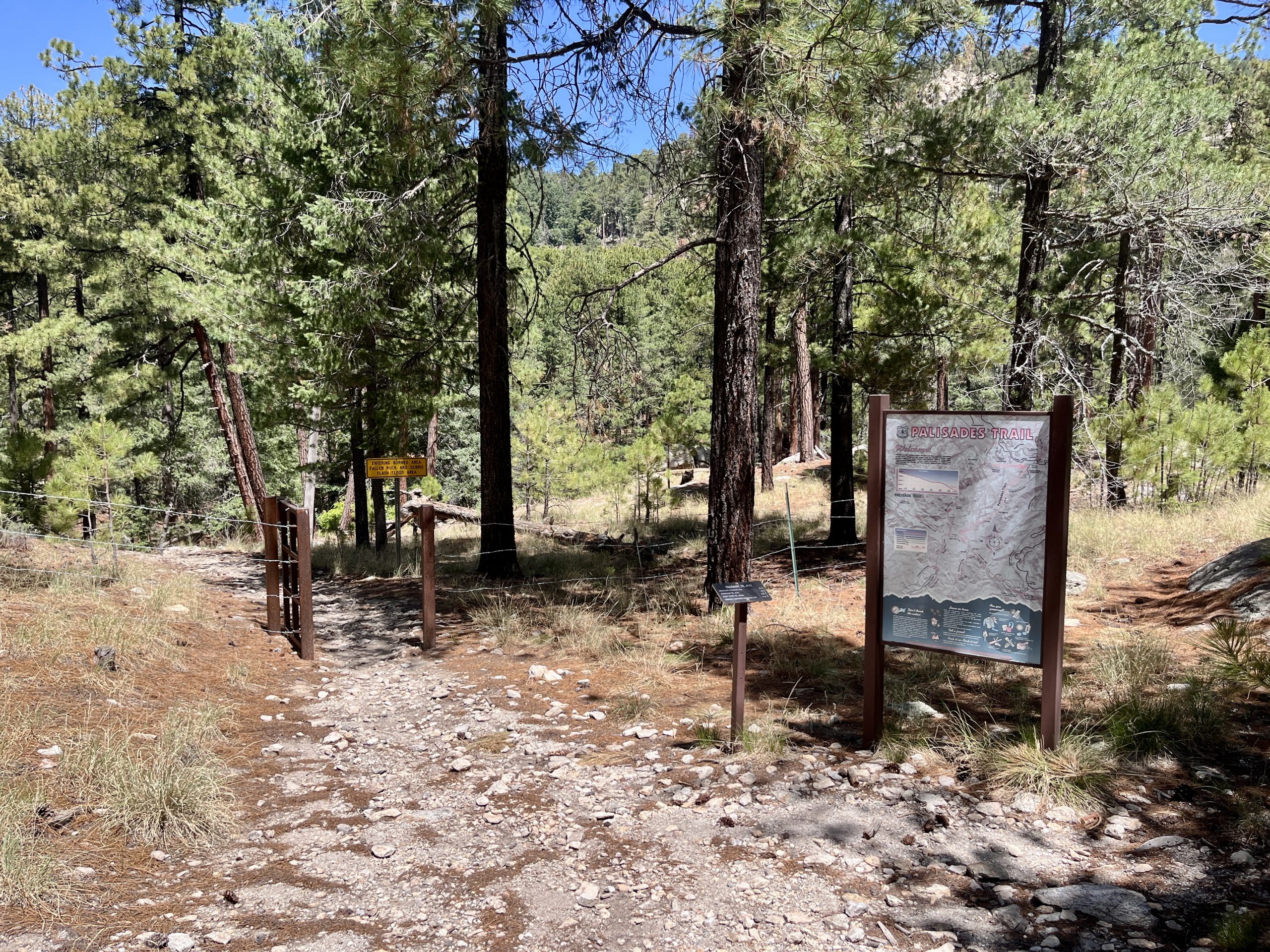
Begin at the Palisades Trailhead and descend down the Palisades Trail. The trail meanders through trees and ferns with occasional views of Mount Lemmon to the northwest. Around a half mile in a well established social trail crosses Palisades Trail. Continue straight for another half mile to the Pusch Ridge Wilderness Boundary. This is a great place to pause and enjoy a shaded and expansive view of Mount Lemmon, Tucson, the surrounding desert and sky islands. To keep this hike at 2 miles roundtrip, turn around here and head back the way you came. If you’re looking to add more miles, you can continue further down the Palisades Trail, however the trail begins to drop more steeply now. Just remember to not overcommit yourself as the hike back to the trailhead is generally uphill.
Safety
Cell service is limited to nonexistent on Palisades Trail. Be sure to tell someone where you are going and/or hike with others. Traveling beyond the Wilderness Boundary the trail becomes steeper and more exposed to the sun and heat. Wear sun protection and check weather forecasts before you go.
Be sure to visit the Know Before You Go page for additional safety information.